Land Surveys
Map and monitor your land from the air
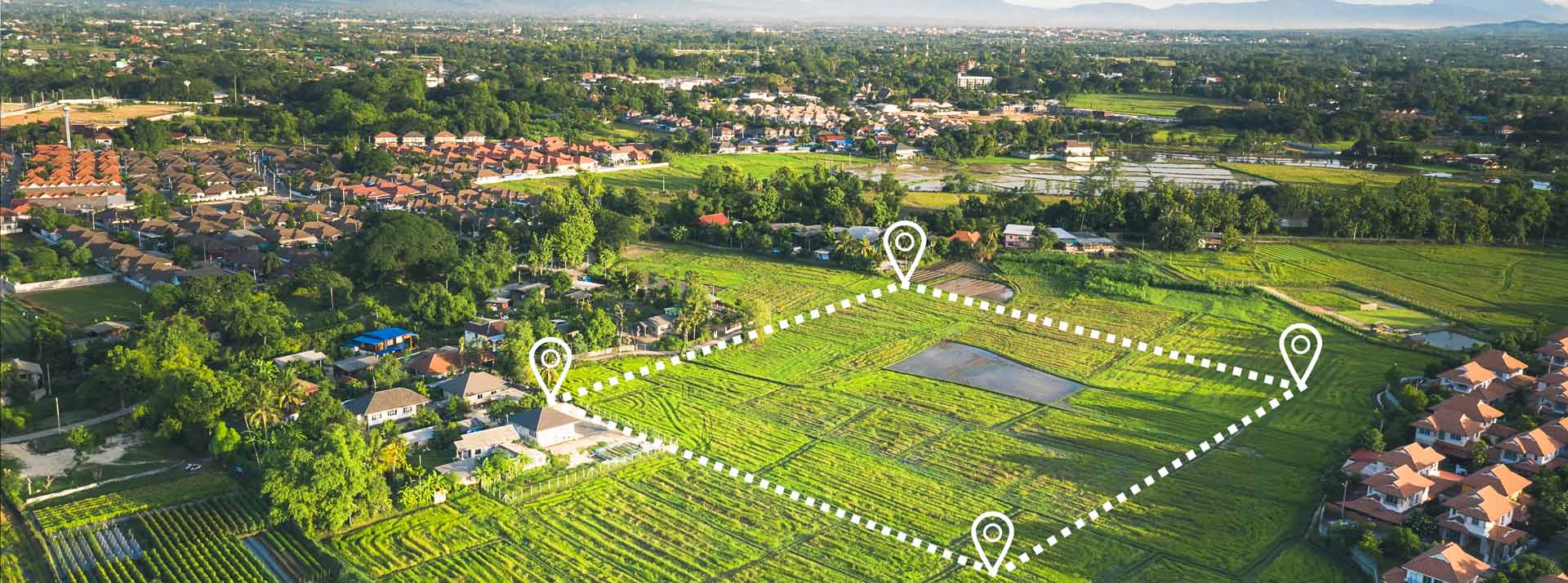
Aerial Precision at Your Service
Efficiency Redefined
Traditional land surveying methods are time-consuming and often expensive. Our drone services redefine efficiency. We can complete surveys in a fraction of the time it would take with conventional methods, reducing costs, minimizing disruption, and accelerating your project timelines.
Comprehensive Data, Unparalleled Insights
Environmental Stewardship
Scotland’s natural beauty is a treasure worth preserving. Our drone surveys are invaluable tools for environmental assessment and conservation efforts. Monitor changes in ecosystems, assess the impact of development on wildlife habitats, and ensure that your projects align with Scotland’s commitment to environmental stewardship.
Safety First
Safety is at the core of our operations. Our certified drone pilots follow stringent safety protocols and adhere to all aviation regulations. You can have peace of mind knowing that our services prioritize the well-being of your project and the surrounding environment.
Tailored Solutions
We understand that every project is unique. That’s why we offer customized surveying solutions to meet your specific needs. Whether it’s for construction, agriculture, forestry, or land management, our services are adaptable and designed to maximize the benefits for your project.